LiDAR in the Meadow
August 30, 2024
By Dr. Scott Valentine
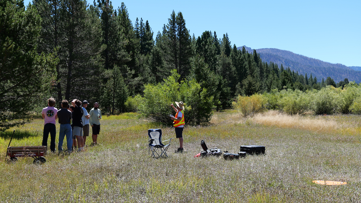
LTCC instructor, Jason Rolfe, flys a drone equipped with LiDAR over the college meadow as STEM students from South Tahoe High School look on.
LiDAR stands for Light Detection And Ranging. This laser-based survey technique can produce extremely accurate elevation models for terrain. Millions of beams of light penetrate through vegetative cover and can detect the ground surface with centimeter precision. LiDAR has the ability to detect subtle topographic features such as ancient river features, landslide scars, or fault ruptures. High-resolution digital elevation maps generated by airborne and stationary LiDAR systems have led to significant advances in the earth sciences.
Collecting LiDAR data is just one of many steps LTCC has taken over the years to better understand Trout Creek and the meadowlands adjacent to campus. Every fall, environmental science students at LTCC collect hydrologic and ecologic data that will be used to help inform land management decisions.
South Tahoe High School students observe the drone mapping:

LiDAR remote

LiDAR equipment

Class learning about LiDar
For a different perspective, watch this drone fly through the LTCC meadow with LiDAR: